
Biodiversity Stewardship Site Assessment Report (BSSAR)
A Biodiversity Stewardship Site Assessment Report, or BSSAR, is the survey-backed report that sets the credit yield for a Biodiversity Stewardship Site in New South Wales. An accredited assessor maps vegetation, habitat and threatened species across the land. They then calculate how many credits the site can generate, before you commit to an agreement.
When do I need a BSSAR?
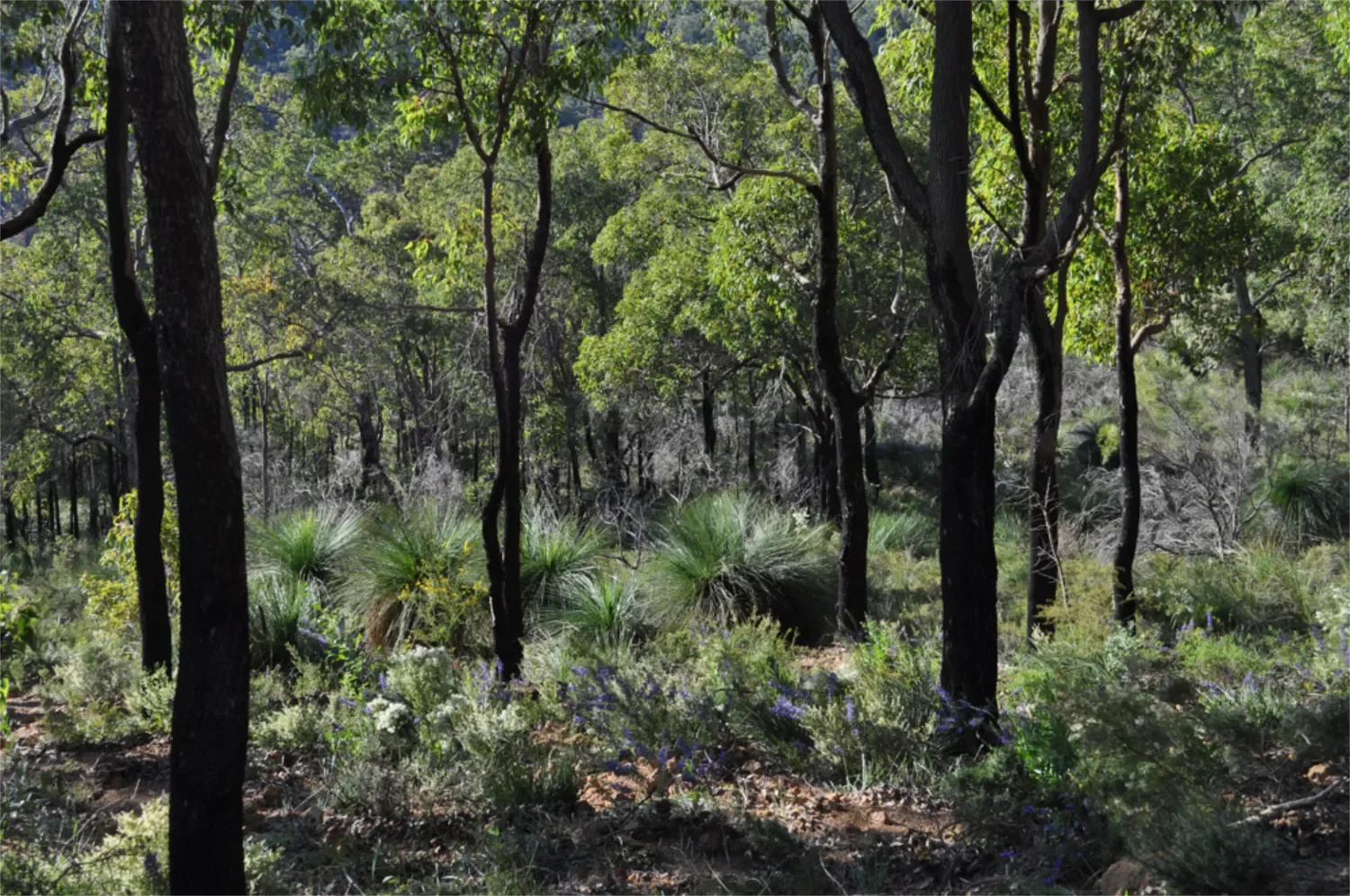
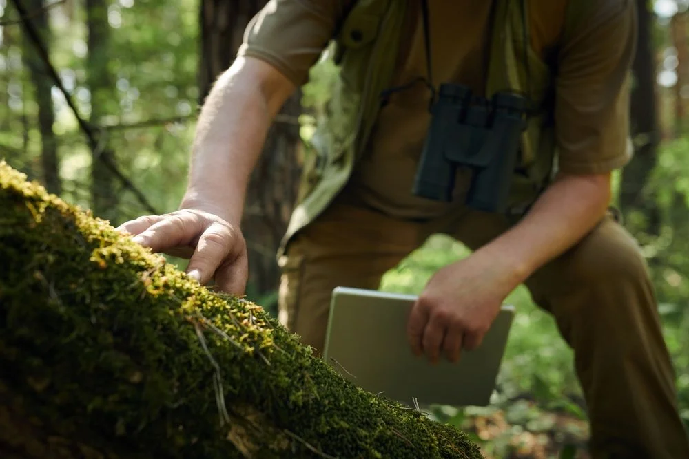
Once a desktop assessment shows a site could work for biodiversity stewardship, a BSSAR is the formal report that confirms it. A BSSAR verifies the plant community types, species, credit yield and cost on the ground. It's for anyone about to commit to a Biodiversity Stewardship Agreement, whether that's a farmer whose land could generate income, an investor who's bought land specifically to create credits, or a business meeting an existing offset obligation.
What's included in a BSSAR?
A BSSAR confirms what a desktop assessment could only estimate. It's the field-verified survey that turns a likely credit volume into an exact one.
-
Confirms on the ground what the desktop assessment identified from existing data.
-
Maps habitat quality and fauna presence across the whole site.
-
Verifies which threatened species are actually present, since credit value varies significantly by species and community type.
-
Run through the Biodiversity Assessment Method (BAM), so you get an exact figure, not the desktop stage's early estimate.
-
The final BSSAR report is what the Biodiversity Stewardship Agreement and its 20-year management plan get built from once you decide to proceed.
-
A BSSAR has to be completed by an assessor accredited under BAM. The NSW Government publishes the accredited assessor register.
A realistic number, not a maximum one
Some assessments report the maximum theoretical credit potential of a site. We report what's actually saleable, backed by market evidence.
Case Study: Tilt Renewables
See how stewardship works from the ecological survey, through to government lodgement and ongoing management.
Frequently Asked Questions
-
A desktop assessment is an early viability check using existing data, plant community types, likely species, and a rough credit volume and value estimate. A BSSAR field-verifies all of it, confirming what's actually on the ground and calculating an exact credit yield before you commit to anything.
-
Field work typically runs three to six months, followed by up to six months of government assessment before a Biodiversity Stewardship Agreement is finalised. Credit registration usually takes around 12 months from start to finish.
-
Not necessarily. Theoretical credit potential and genuinely saleable volume are two different numbers, since saleable volume depends on real buyer demand for that community type. We report the realistic figure, backed by market evidence, not the maximum one.
-
Around 100 hectares is generally the minimum threshold we recommend for a commercially viable return. Smaller sites can still be worthwhile if they contain a critically endangered ecological community, since those credits trade at a significant premium.
-
The Total Fund Deposit is part of the Biodiversity Stewardship Agreement that covers all ongoing management and monitoring of the site. This includes fence repair, replacement and new fencing, gates, signage, weed control, rehabilitation of eroded or previously cleared areas, feral animal control, fire management and controlled burns, track maintenance, annual reporting and monitoring, project management, liaison with authorities, and five-yearly reviews of management plans, insurance and rates. The TFD must be paid in full, through credit sales, before the landowner receives any return. It's paid to the Biodiversity Conservation Fund, which returns it to the landowner on a yearly basis.
Find out what your site could yield
Send us your site details and we'll walk you through a desktop assessment first, so you know whether it's worth taking further before anyone commits to anything.